Pluv. en últ 15 min
Zona: Cuenca del Ebro
DATOS
QUINCEMINUTALES
Día: 22/10/2024
Hora: 05:45
| Datos Fijos | |||||||||||
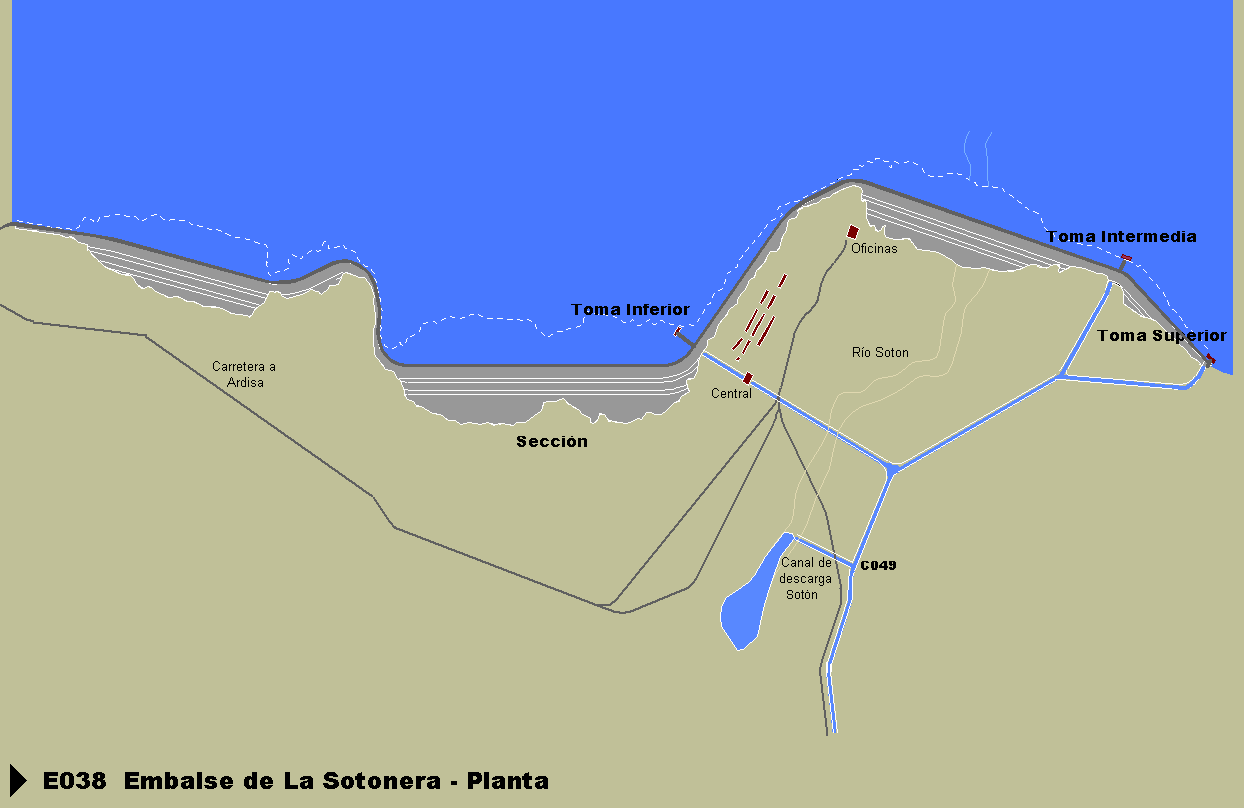
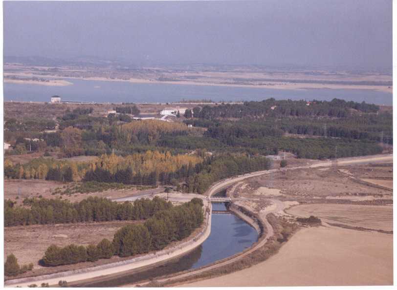
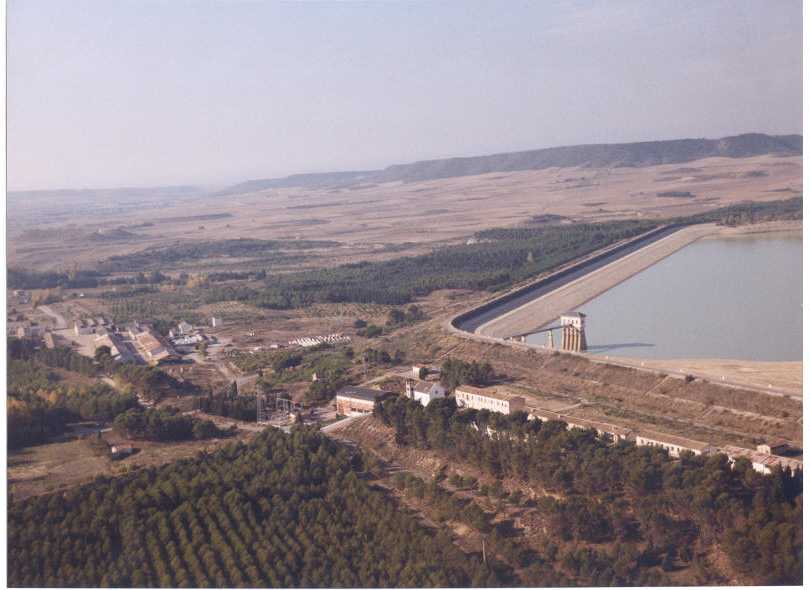
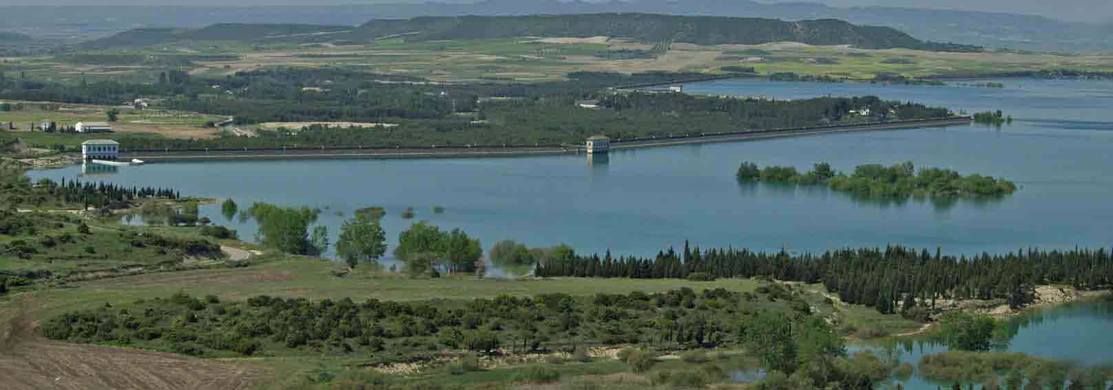
| Descripción: | Embalse de La Sotonera | Coordenadas UTM ETRS89 | Huso | X | Y | Z | |||||
| 30 | 692463,4 | 4663993,2 | 414,6 | ||||||||
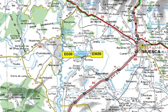
| Comunidad autónoma: | ARAGÓN | Municipio: | ALCALA DE GURREA | ||||||||
| Provincia: | HUESCA | Río: | Sotón | ||||||||
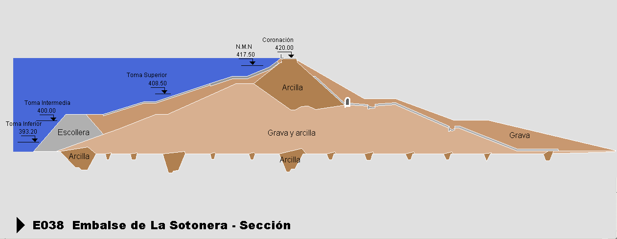
| Cota mínima: | 393,2 | Cota N.M.N.: | 417,5 | ||||||||
| Cota coronación: | 420 | Volumen total: | 189,219 | ||||||||
| Cota aliviadero: | 418 | ||||||||||
|
(*) Casillas en blanco son datos no calculados |
Datos Estadísticos Mes en curso (Octubre-2024) | |||||||
| Descripción | Unidad | Día 1 | Mínimo | Media | Máximo | Acumulado | ||
| NIVEL EMBALSE DE LA SOTONERA | msnm |
|
- | - | - | - | ||
| VOLUMEN EMBALSE SOTONERA | hm³ |
|
- | - | - | - | ||
|
(*) Casillas en blanco son datos no calculados |
Datos Estadísticos Mes anterior (Septiembre) | |||||||
| Descripción | Unidad | Día 1 | Mínimo | Media | Máximo | Acumulado | ||
| NIVEL EMBALSE DE LA SOTONERA | msnm |
|
- | - | - | - | ||
| VOLUMEN EMBALSE SOTONERA | hm³ |
|
- | - | - | - | ||

